The trace of a now-demolished home remains on a standing building in Philadelphia. (AP Photo/Matt Rourke)
Philadelphia has been testing a new way of prioritizing which vacant rowhomes to demolish first — and to discover vacancies not on the city’s radar, The Philadelphia Inquirer reports. A model developed for the inspections department by city IT staffers with GIS and data know-how has been in trial since August.
Since then, Philadelphia’s inspections agency has been running daily data sheets that score properties on how dangerous they are, based on factors such as whether the property is near a school, or has had previous violations, or the water bill is very overdue. They also overlay mapped crime data indicating properties that tend to be hotspots for drug activity and other crime. All this is then used when setting the demolition schedule.
The city is also using laser imaging technology to look for collapsing roofs.
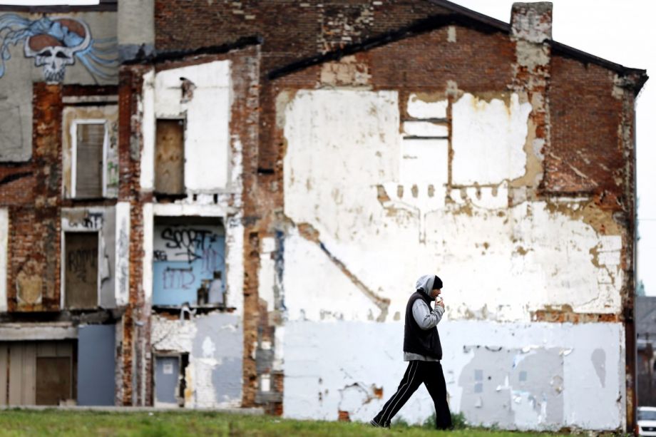
Officials estimate that there are about 13,000 vacant residential structures in Philadelphia, and about 4,800 of these homes are unsafe.
The city spent about $467,000 on the technology. Is it also looking to create a similar model for the roughly 1,000 large, vacant, commercial properties the city is monitoring throughout the city.
In recent years, many Rust Belt cities have looked to technology to address properties left vacant after a decline in U.S. manufacturing prompted many companies and residents to move out. Detroit, which has tens of thousands of abandoned houses, asked citizen monitors to help accumulate that information via texting, and several Ohio cities picked up the Motor City’s high-tech methods of mapping and tracking blight.